|
||
|
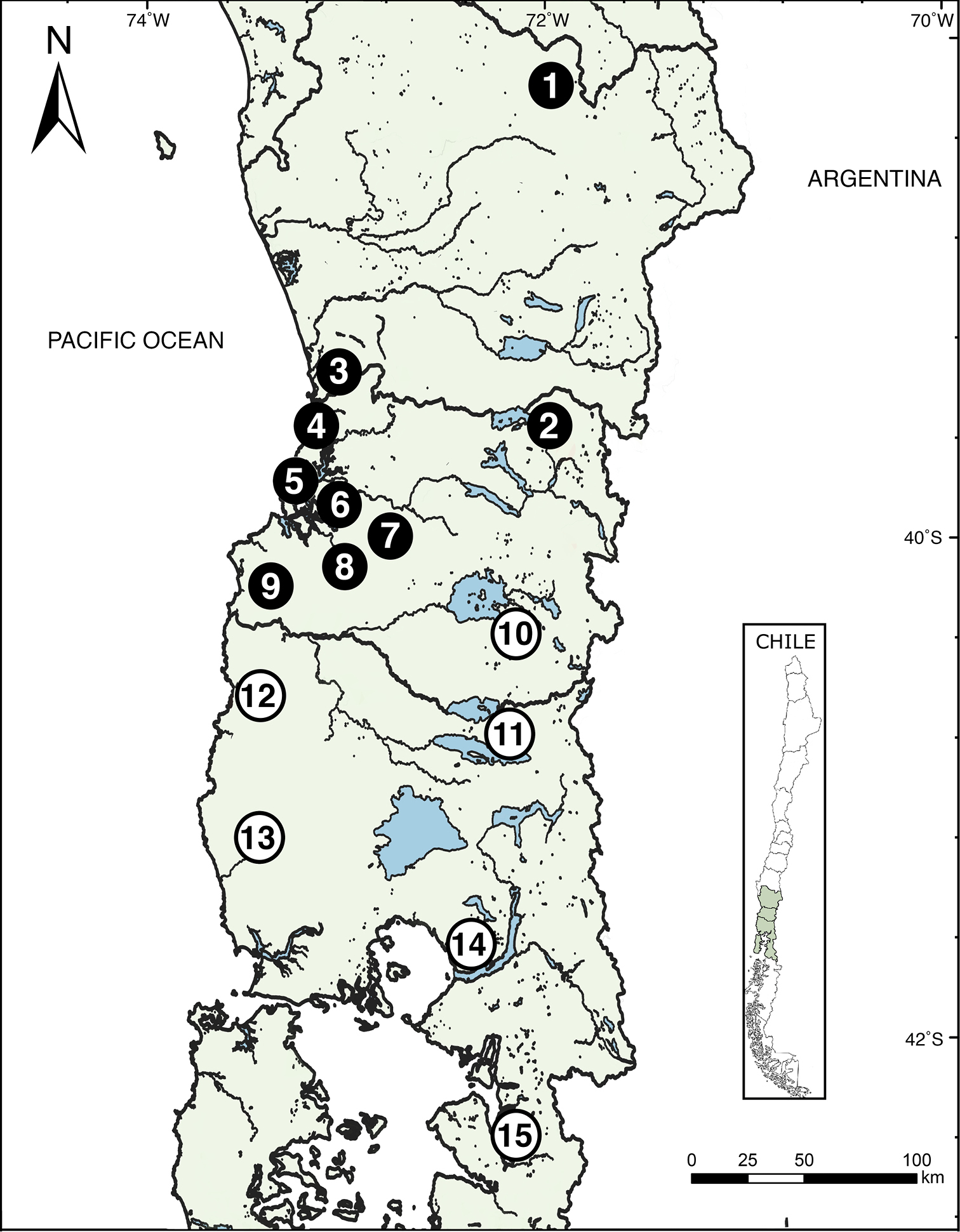
Map depicting 15 collection localities of the Eupsophus vertebralis group specimens in Southern Chile. E. vertebralis locations are represented by black circles, and E. emiliopugini locations are shown with white circles. The numbers inside the circles corresponds with the follow localities: 1) Tolhuaca, 2) Lago Pellaifa, 3) Colegual Alto, 4) Chanchan, 5) Oncol, 6) Llancahue, 7) Reumén, 8) Chamil, 9) Cordillera Pelada, 10) Los Mañios, 11) Puyehue, 12) Pucatrihue, 13) Cordillera del Sarao, 14) Parque Alerce Andino, and 15) Huinay. |